We value
your feedback and encourage you to complete this form and provide open-ended comments
you have regarding our site. Click Here
Disclaimer:
Although we've tried to make the information on this web site as accurate as possible,
we accept no responsibility for any loss, injury or inconvenience sustained by
any person resulting from information published on this site. We encourage you
to verify any critical information with the relevant authorities before you travel.
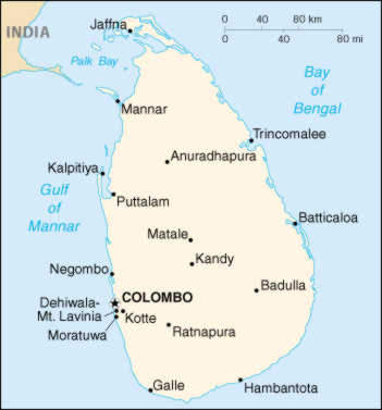
Map Information: Courtesy
of The General Libraries, The University of Texas at Austin. Some images reside
on the General Libraries site.